Southampton Airport (SOU)
City Orientation and Maps
(Southampton, England)
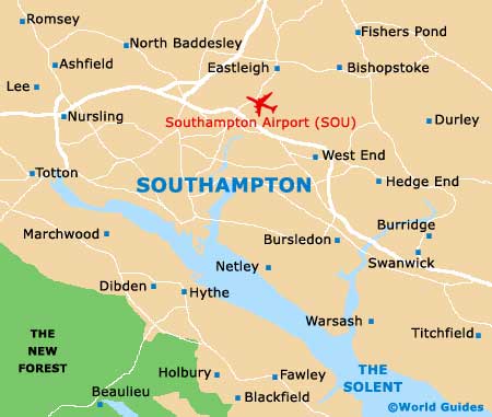
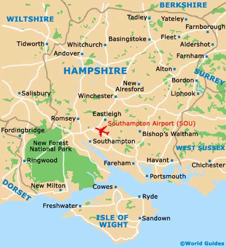
The city of Southampton lies in the county of Hampshire, close to the southern coast of England. Southampton is near many large cities, which include Winchester to the north, Salisbury to the north-west, and Portsmouth to the south-east. Also nearby, Eastleigh is situated around 8 km / 5 miles to the north, next to Southampton Airport (SOU) and the Stoneham area.
Those wishing to travel to London will find the city just 130 km / 80 miles to the north west of Southampton. London can be reached in around one and a half hours by car from Southampton, with trains to London's Waterloo Station running twice-hourly and lasting approximately one hour and 15 minutes.
Southampton Airport (SOU) Maps: Important City Districts
Southampton is located alongside the Solent, an inlet which stretches for around 13 km / 8 miles and flows into both the Itchen River and the Test River. The city's important waterfront has been responsible for much of its wealth, including major shipping and shipbuilding industries in the past. Over the years many famous ships have been built in Southampton, such as the Queen Mary and the ill-fated Titanic.
Within the centre of Southampton you will find numerous remains from medieval times, with the city walls being particularly prominent and well-preserved. In recent years the city centre has been dramatically redeveloped, with the arrival of the vast West Quay shopping centre in 2000, together with the nearby West Quay Retail Park.
England Map

Hampshire Map
Southampton Map